
Recurring site capture
Create a repeatable record of observed site conditions through regular or milestone-based capture.
Construction monitoring platform
Connect handheld LiDAR, imagery and available project information for progress, coordination and design-versus-observed discussions.
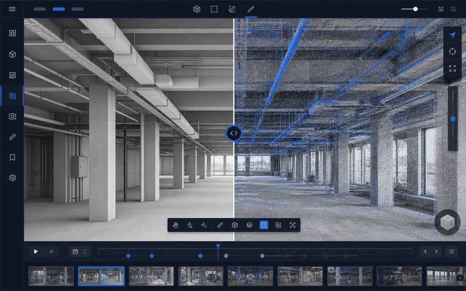
Review captured conditions by area, floor or work package. Compare them with available design information or previous captures where available.
The platform supports human project decisions. It does not independently certify payments, completed work or survey-grade compliance.
Current workflow
The platform is organised around captured conditions and the decisions they support.
Create a repeatable record of observed site conditions through regular or milestone-based capture.
Combine imagery with measurable LiDAR geometry for more than camera-only documentation.
Review observed installation, incomplete or potentially missing work by area or work package.
Compare captured conditions between site visits where previous captures are available.
Review observed site geometry against available design information and flag conditions for closer investigation.
Maintain a recurring historical record to support progress, coordination, milestone, and commercial discussions.
Pilot program
Select a representative area, work package or subcontractor scope. We will discuss the monitoring objective and define a practical pilot capture.