
Capture
Monumatix visits the site and records current conditions using fast handheld LiDAR and imagery.
Managed capture workflow
Monumatix handles handheld LiDAR and imagery capture, data preparation and evidence delivery.
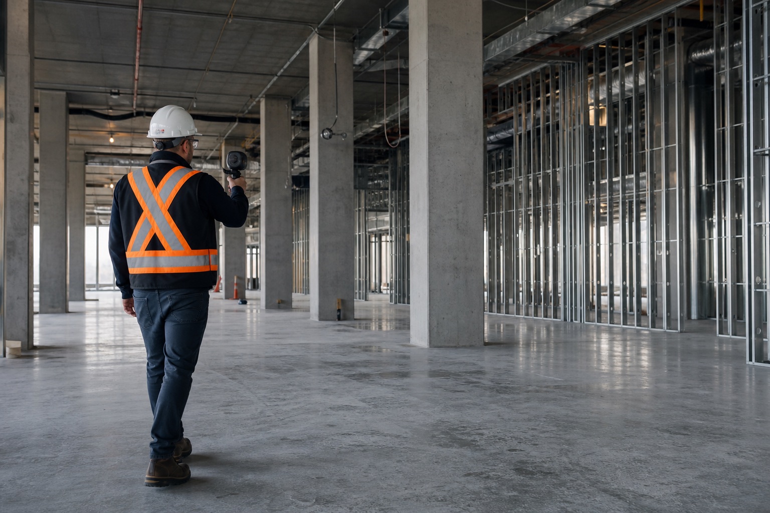
Monumatix visits the site and records current conditions using fast handheld LiDAR and imagery.
The captured data is prepared and connected with the available project information.
Observed conditions are reviewed against planned work, design information and previous captures where available.
The project team receives visual and measurable evidence for progress, coordination and precision-monitoring discussions.
≈ 5,000 m²
In representative site conditions. Actual time depends on accessibility, geometry, obstruction and required detail.
LiDAR adds geometric information to imagery so observed conditions can be reviewed against project information or previous captures.
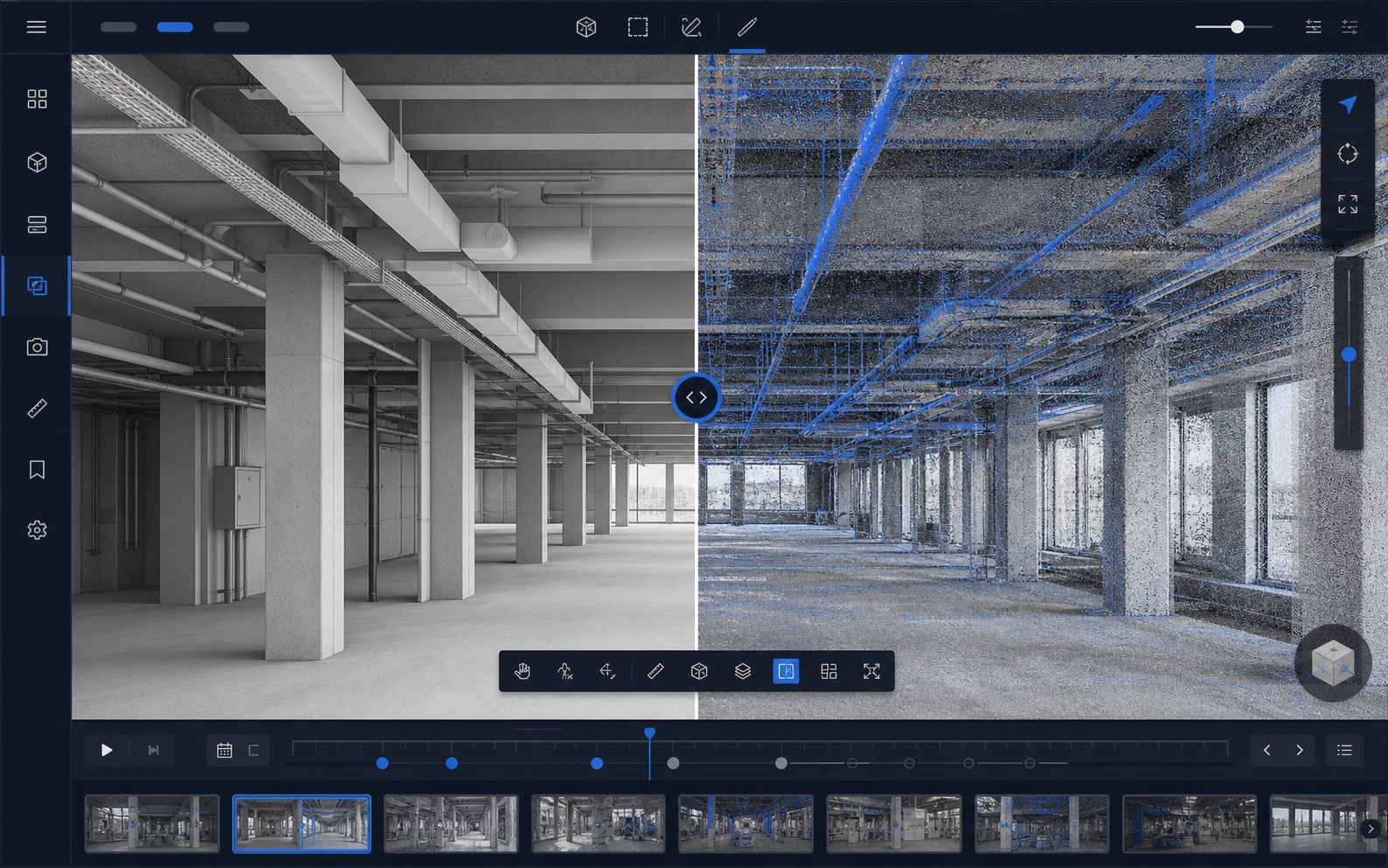
Monumatix is intended for recurring construction monitoring. It does not replace professional survey-grade scanning where that precision is required.
Explore the platformPilot program
Select a representative area, work package or subcontractor scope. We will discuss the monitoring objective and define a practical pilot capture.